According to the Michigan History Center, “Heritage trails connect people with the natural and cultural heritage of the landscape they are passing through…. For communities, heritage trail development can ignite pride, inspire learning, and promote preservation.”
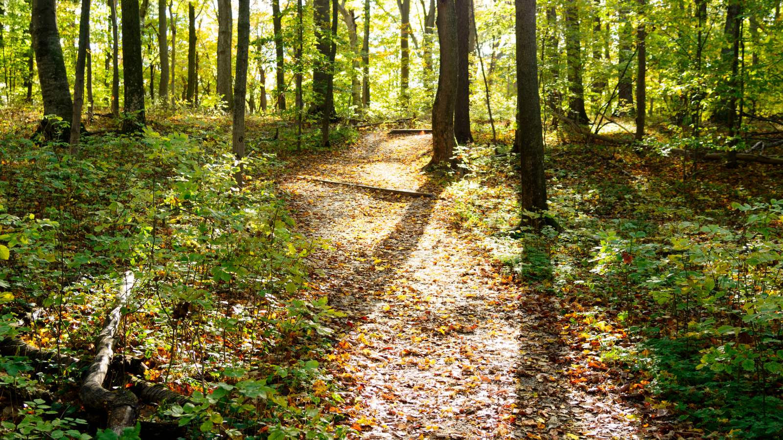
That’s exactly what they do, not to mention all the benefits trail-goers experience: connection to history, get some exercise, experience Michigan’s past and present, encourage positive mental health. In this article, we will concentrate on some of the land-based heritage trails that communities have built together because of the significance.
Haywire Grade Trail
The state’s first rail trail – its 50th anniversary celebration occurred in 2020 – the Haywire Grade Trail is 32 miles of pristine beauty across part of the Upper Peninsula,from Intake Park in Manistique to Shingleton. According to the Michigan History Center, “The trail runs along the old Manistique and Lake Superior Railroad and has since been reclassified as a year-round, multiuse trail…. The heritage trail project includes a series of 11 historical interpretive kiosks that explore the natural and cultural history of the area.”
Trail-goers will find the surface to be a mix of sand, gravel, and coarse limestone, designed for snowmobiles and ATVs, but suitable for fat-tire biking. Of course, hiking is a must. There are a few trailheads to be aware of (information courtesy of the Michigan History Center):
- The northern trailhead on the east side of M-94 is just south of Shingleton. There is no parking, but spaces are available east of the Tanglewood Restaurant and Antique Shop on M-28 in Shingleton less than a quarter mile north of the trail.
- The Manistique Trailhead is located on the banks of the Indian River at Intake Park in Manistique (on Intake Park Road).
- The Jack Pine Trailhead is located at Jack Pine Lodge on M-94 (about halfway between Manistique and Shingleton).
Read the article on the MARVAC website for lots of details about the Haywire Grade Trail and a link to the trail map.
Iron Ore Heritage Trail
Another option in the Upper Peninsula is the Iron Ore Heritage Trail, which runs 47 miles. Again, it’s a multi-use, year-round trail designed for walkers, bikers, runners, inline skaters, wanderers, horseback riders, people in wheelchairs, snowmobilers, history buffs, ORVs, cross country skiers, shutterbugs, and explorers. The Michigan History Center, however, takes note that “not all of the trail is open to all users… see the ORV, bike, and snowmobile maps for where you can get on and ride.”
The trail follows mostly abandoned railroad corridors that were used to bring lumber to furnaces and forges and iron ore to the Lake Superior Harbor. Take your pick from nine trailheads; see the trail map for details. Some of the trail travels through downtowns within the County of Marquette, so you get to see not just nature’s beauty, but the beauty of the people who reside here. There “is an interpretive trail that showcases the role of the iron ore mining industry to the State of Michigan and the United States,” according to the Michigan History Center. This trail “highlights [the] County’s diverse environments from hugging the beautiful Lake Superior shoreline, traversing the three cities with their historic sandstone structures, skirting along the iron mining pits of the 18th and 19th centuries, crossing many creeks and rivers in the rural areas, and connecting the many neighborhoods along the trail.”
For more information on this trail, visit http://ironoreheritage.com/.
Kal-Haven Heritage Trail
“Dedicated in 1989, the Kal-Haven Trail is the cornerstone of Michigan’s outstanding network of linear trails. Just as the development of the Kal-Haven Trail helped lay the groundwork for Michigan’s trail system, it is now the pilot project for a program to integrate heritage on trails across the state,” says the Michigan History Center. This trail runs east-west between South Haven and Kalamazoo.
“In summer 2019, the center and its partners installed 31 interpretive signs that share the natural and cultural history of the area. Travelers will see a glacially sculpted landscape that has been occupied by people for thousands of years, including the Pottawatomi. They called the South Haven area ‘Nik-o-nog,’ which means ‘beautiful sunset.’ The trail passes through several communities that were founded in 1870, some of which have all but disappeared. Trail users can visit the place where Joe Louis ran the roads to get in shape for a fight with Jersey Joe Walcott, take in the site of an oil boom town and visit the site of one of the nation’s first woman-owned car dealerships.”
The Friends of the Kal-Haven Trail further details, “The Trail passes through busy towns and small villages, open farmland and orchards, delicate wetlands and ends on the shores of Lake Michigan. The Kal-Haven Trail State Park ranks as the Number 1 ‘thing do to’ by TripAdvisor for our region.Trail highlights include a camelback bridge east of Grand Junction and a covered bridge 1 1/2 miles from the trailhead in South Haven.”
There is a mobile app for increased accessibility and is available at https://iwr.msu.edu/kht/. You can learn more about this trail at https://kalhaven.org/heritage-trail/.