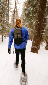
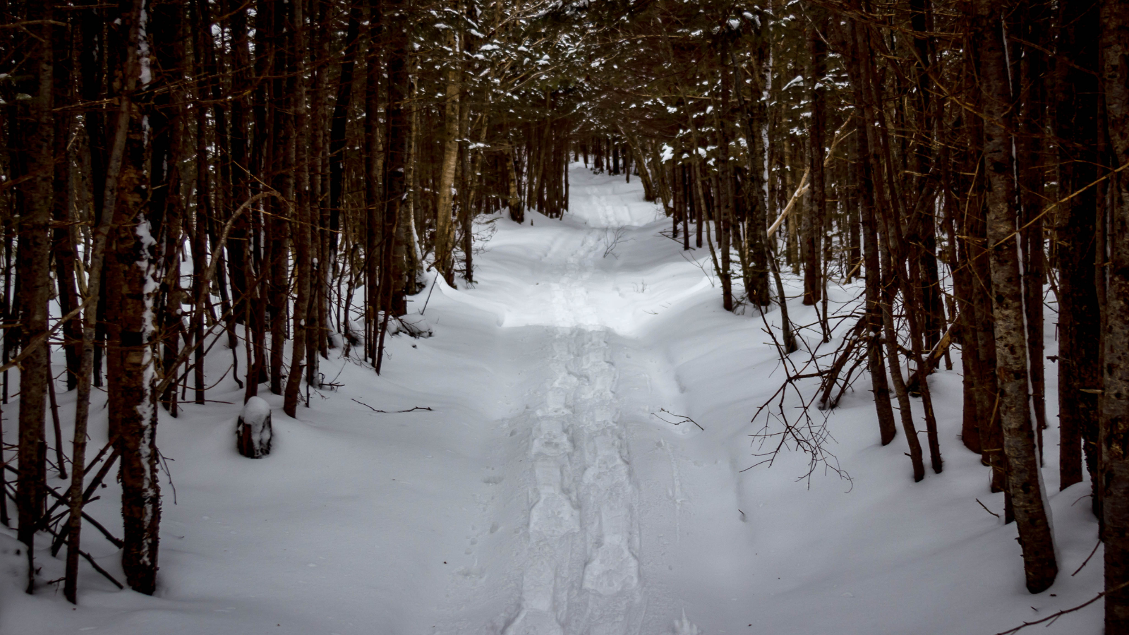
Michigan state parks preserve much of Michigan’s natural beauty, both for us and for generations to come. There are more than 100 parks that are managed by the Michigan DNR. A recreation passport is required to enter into Michigan state parks, which is used to preserve state forest campgrounds and pathways, and preserve historic landmarks. Visit the Michigan DNR website for directions, trail maps, and contact information.
Belle Isle Park
www.belleisleconservancy.org/belle-isle-park-attractions
A popular destination in the summer months because of its river view, conservatory, beach, and fountains, Belle Isle Park is known as a gem of Detroit. The 982-acre oasis offers snowshoers a unique 5.4-mile trail that passes by all the attractions and gives you a beautiful view of the Detroit River and the Detroit skyline.
Green Pine Lake Pathway
Clare County is the home of this winter trail, which offers more than 11 miles of trails. Choose a five-mile loop, a 2.5-mile loop, or a 2.5-mile stretch that leads to Mud Lake – or do all three routes. The trailhead to Green Pine Lake Pathway can be accessed on M-115, just north of Lake Station Road. You’ll see a variety of habitats along the way, and be pretty secluded from the hustle and bustle of the world, even from other trail-goers.
 Lake Mary Plains Pathway
Bewabic State Park is located in the Upper Peninsula, near Crystal Falls and the mighty Iron River. It’s best known for its beach and is also part of the Iron County Heritage Trail system. And not that you’ll be playing anytime soon, but Bewabic State Park is the only state park that has tennis courts. Lake Mary Plains Pathway, which is managed by this state park, is accessible via Glidden Lake State Forest Campground in Iron County about six miles away from Crystal Falls. The nine-mile trail is a popular selection for those who love to wander the outdoors when the snow falls because of its “tall pines and tranquil waters,” as the Michigan DNR puts it.
Muncie Lakes Pathway
It’s difficult to choose a trail in northwest Lower Michigan, or anywhere in Michigan really. Muncie Lakes Pathway is an 8.4-mile looped trail near the Cherry Capital, Traverse City, and within the boundaries of the Pere Marquette State Forest. It’s a well-loved trail in the summer and fall months, and then it’s groomed in the wintertime. You’ll pass Muncie Lakes and the Boardman River Valley along your journey. What an ideal way to spend a few hours outdoors.
Fisherman’s Island State Park
Unspoiled Lake Michigan shoreline… six miles of it. Located near exquisite Charlevoix near the pinky finger, Fisherman’s Island State Park is another great choice for snowshoers to leave cell phones behind and immerse themselves in nature. Rolling dunes, cedar bogs, and majestic maples are some of what you’ll see on the 2.5-mile hiking trail. This is also a popular spot for rock hounds, so wander to the beach to see if you can find a treasure or two to take home.
Shingle Mill Pathway
Located in the heart of elk country, Pigeon River Country State Forest is ideal for viewing wildlife – especially elk – and avoiding large crowds. The Shingle Mill Pathway is located near Vanderbilt and has been featured in a couple books. If you want to be out all day, then take the 6-, 10- or 11-mile loop. Or, you have your choice of three other shorter loops, the shortest of which are less than a mile and 1.25 miles. You’ll encounter some of the most scenic areas of the state forest, including lakes and rivers. There are several places to pick up the trail, depending on the length of hike you want to take.

