Upper Peninsula Map
Find a MARVAC Member Near You!
The map displays all MARVAC members – RV Campgrounds, Dealerships, and Service Providers – in each region. You can learn more about each member by clicking on their icon on the map or locating their listing using the search function. If you’re looking for something specific, like where to get away for a long weekend, select the “Campground” category to see only Campground members; the same applies if you’re looking for RV Dealers or Suppliers.
Once you’ve navigated to a member’s page, you can search nearby attractions, such as local hiking trails or breweries, by using the “Search the Map” function on the right side.
And as RVers, we know that the journey is the half the fun! So be sure to check out one of our regional driving tours, listed below and located in the News section, before you hit the road!
Related Posts
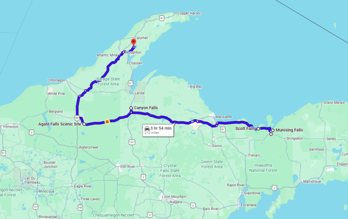
Chasing Fall Color: 6 Upper Peninsula Waterfalls to Visit
Distance: 212 Miles Driving Time: 3 hours, 54 minutes When it comes to fall foliage, the Upper Peninsula region of Michigan tends to boast colors sooner than the rest of [...]
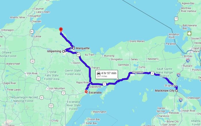
Upper Peninsula Driving Tour: Movie Destinations
Filmmakers over the years have been attracted to Michigan’s Upper Peninsula because of its diverse landscapes, small towns, and historic locations. This unique driving tour connects five destinations and their [...]
Statewide Driving Tour: 16 Patriotic Michigan Destinations Honoring American History
In celebration of America’s 250th anniversary as a country, embark on this driving tour across Michigan, established as a state in 1837, by visiting the America 250! Patriot Markers of [...]
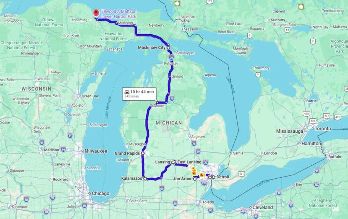
Michigan Presidential Driving Tour
Driving time: 10 hours, 44 minutes Distance: 645 miles Route: Detroit – Dearborn – Ann Arbor – East Lansing – Lansing – Kalamazoo – Grand Rapids – Mackinac City – [...]